File:Approaching Weston Hills tunnel - Geograph - 1786124.jpg
Jump to navigation
Jump to search

No higher resolution available.
Approaching_Weston_Hills_tunnel_-_Geograph_-_1786124.jpg (640 × 414 pixels, file size: 37 KB, MIME type: image/jpeg)
| |||||||||||||||||||||||||
|
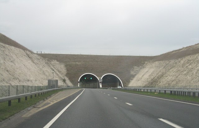
Galleries | A505 | Weston Hills Tunnel | Hertfordshire | ||
File history
Click on a date/time to view the file as it appeared at that time.
| Date/Time | Thumbnail | Dimensions | User | Comment | |
|---|---|---|---|---|---|
| current | 18:49, 2 April 2017 | | 640 × 414 (37 KB) | Vlad (talk | contribs) | '''Approaching Weston Hills tunnel''' Part of the Baldock bypass which I am sure has been well received by many in the region. |
File usage
The following 2 pages use this file: