File:Approaching the A10 from Tottenhill Row - Geograph - 570294.jpg
Jump to navigation
Jump to search

No higher resolution available.
Approaching_the_A10_from_Tottenhill_Row_-_Geograph_-_570294.jpg (640 × 426 pixels, file size: 123 KB, MIME type: image/jpeg)
| |||||||||||||||||||||||||
|
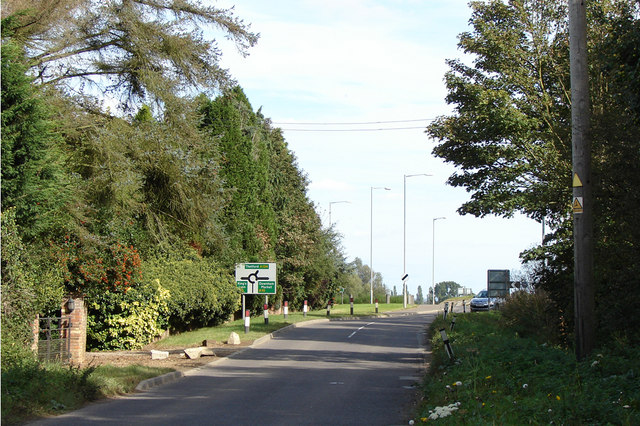
Galleries | A10 | A134 | Oakwood Corner | Advance Direction Sign | ||
File history
Click on a date/time to view the file as it appeared at that time.
| Date/Time | Thumbnail | Dimensions | User | Comment | |
|---|---|---|---|---|---|
| current | 09:49, 4 September 2016 | | 640 × 426 (123 KB) | C2r (talk | contribs) | '''Approaching the A10 from Tottenhill Row''' The sign says King's Lynn to the left, Thetford straight over, and Downham Market to the right |
File usage
The following 3 pages use this file: