File:Approaching the Banbridge District Boundary on the Bann Road - Geograph - 4268571.jpg
Jump to navigation
Jump to search

No higher resolution available.
Approaching_the_Banbridge_District_Boundary_on_the_Bann_Road_-_Geograph_-_4268571.jpg (640 × 494 pixels, file size: 63 KB, MIME type: image/jpeg)
| |||||||||||||||||||||||||
|
Galleries | A50 (Northern Ireland) | Slieve Croob Scenic Loop | ||
File history
Click on a date/time to view the file as it appeared at that time.
| Date/Time | Thumbnail | Dimensions | User | Comment | |
|---|---|---|---|---|---|
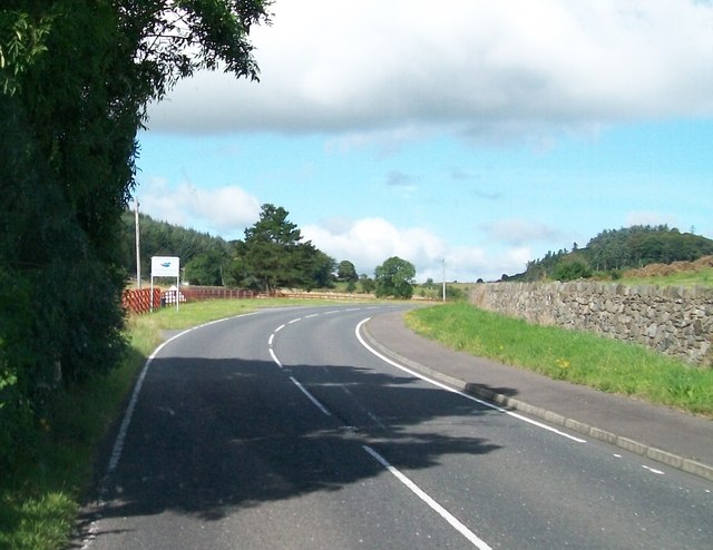
| current | 10:10, 20 March 2017 | | 640 × 494 (63 KB) | Si404 (talk | contribs) | '''Approaching the Banbridge District Boundary on the Bann Road''' The image was taken from the Down District. The Banbridge and Down Districts are two of 26 council areas formed on 1 October 1973. From 2015 Banbridge and Down will disappear as local g... |
File usage
The following 2 pages use this file: