File:Approaching the crossroads at the centre of Cullaville - Geograph - 2362299.jpg
Jump to navigation
Jump to search

No higher resolution available.
Approaching_the_crossroads_at_the_centre_of_Cullaville_-_Geograph_-_2362299.jpg (640 × 391 pixels, file size: 44 KB, MIME type: image/jpeg)
| |||||||||||||||||||||||||
|
Galleries | A37_(Cullaville) | B30_(Northern_Ireland) | D2 | Crossroads | A37_(Cullaville) | County Armagh | ||
File history
Click on a date/time to view the file as it appeared at that time.
| Date/Time | Thumbnail | Dimensions | User | Comment | |
|---|---|---|---|---|---|
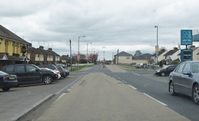
| current | 23:10, 28 April 2012 | | 640 × 391 (44 KB) | Bothar (talk | contribs) | On A37 approach crossroads with B30 at the centre of Cullaville. |
File usage
The following 3 pages use this file: