File:Approaching the east end of Albyn Place - Geograph - 450274.jpg
Jump to navigation
Jump to search

No higher resolution available.
Approaching_the_east_end_of_Albyn_Place_-_Geograph_-_450274.jpg (640 × 449 pixels, file size: 67 KB, MIME type: image/jpeg)
| |||||||||||||||||||||||||
|
Galleries | A9013 | Advance Direction Sign | ||
File history
Click on a date/time to view the file as it appeared at that time.
| Date/Time | Thumbnail | Dimensions | User | Comment | |
|---|---|---|---|---|---|
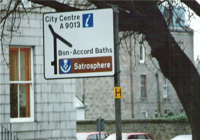
| current | 22:30, 4 September 2016 | | 640 × 449 (67 KB) | Bryn666 (talk | contribs) | '''Approaching the east end of Albyn Place''' At the junction with Union Street (left) and Holburn (right). |
File usage
The following page uses this file: