File:Arenig Fawr from above Llyn Treweryn - Geograph - 3472938.jpg
Jump to navigation
Jump to search

No higher resolution available.
Arenig_Fawr_from_above_Llyn_Treweryn_-_Geograph_-_3472938.jpg (640 × 362 pixels, file size: 60 KB, MIME type: image/jpeg)
| |||||||||||||||||||||||||
File history
Click on a date/time to view the file as it appeared at that time.
| Date/Time | Thumbnail | Dimensions | User | Comment | |
|---|---|---|---|---|---|
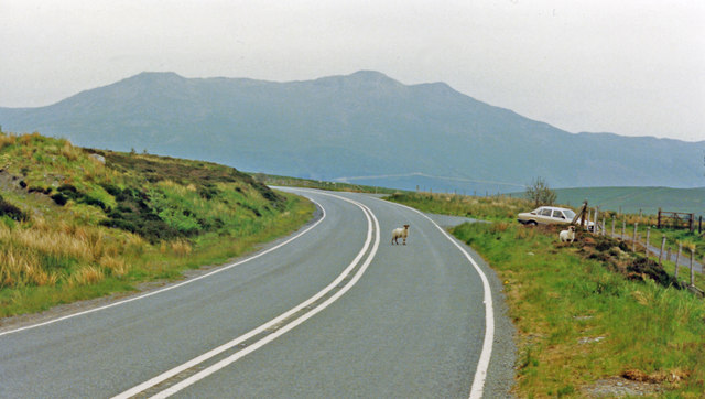
| current | 09:34, 23 July 2013 | | 640 × 362 (60 KB) | Viator (talk | contribs) | Arenig Fawr seen from above Llyn Treweryn on the eastbound A4212 |