File:Argyle Street South, Birkenhead - Geograph - 1410426.jpg
Jump to navigation
Jump to search

Size of this preview: 464 × 600 pixels. Other resolution: 495 × 640 pixels.
Original file (495 × 640 pixels, file size: 68 KB, MIME type: image/jpeg)
| |||||||||||||||||||||||||
|
Galleries | B5147 | Birkenhead | Bus stop | ||
File history
Click on a date/time to view the file as it appeared at that time.
| Date/Time | Thumbnail | Dimensions | User | Comment | |
|---|---|---|---|---|---|
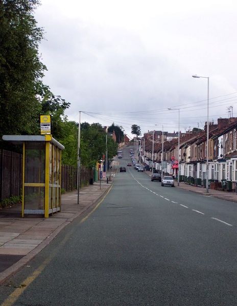
| current | 19:01, 6 June 2016 | | 495 × 640 (68 KB) | Vlad (talk | contribs) | '''Argyle Street South, Birkenhead''' Looking away from Birkenhead Central Station, up towards Tranmere. |
File usage
The following 3 pages use this file: