File:Arriving in Mallaig - Geograph - 3403053.jpg
Jump to navigation
Jump to search

No higher resolution available.
Arriving_in_Mallaig_-_Geograph_-_3403053.jpg (640 × 395 pixels, file size: 59 KB, MIME type: image/jpeg)
| |||||||||||||||||||||||||
|
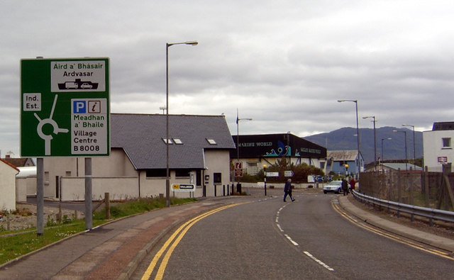
Galleries | A830 | Road to the Isles | Mallaig | Photo of the Month May 2013 | ||
File history
Click on a date/time to view the file as it appeared at that time.
| Date/Time | Thumbnail | Dimensions | User | Comment | |
|---|---|---|---|---|---|
| current | 09:45, 9 April 2013 | | 640 × 395 (59 KB) | Viator (talk | contribs) | Arriving in Mallaig |
File usage
The following 3 pages use this file: