File:Asc-airport2.jpg
Jump to navigation
Jump to search

No higher resolution available.
Asc-airport2.jpg (640 × 427 pixels, file size: 63 KB, MIME type: image/jpeg)
| |||||||||||||||||||||||||
|
Galleries | Ascension Island/Airhead Road | Warning Sign | T Junction | Photo of the Month May 2013 | ||
File history
Click on a date/time to view the file as it appeared at that time.
| Date/Time | Thumbnail | Dimensions | User | Comment | |
|---|---|---|---|---|---|
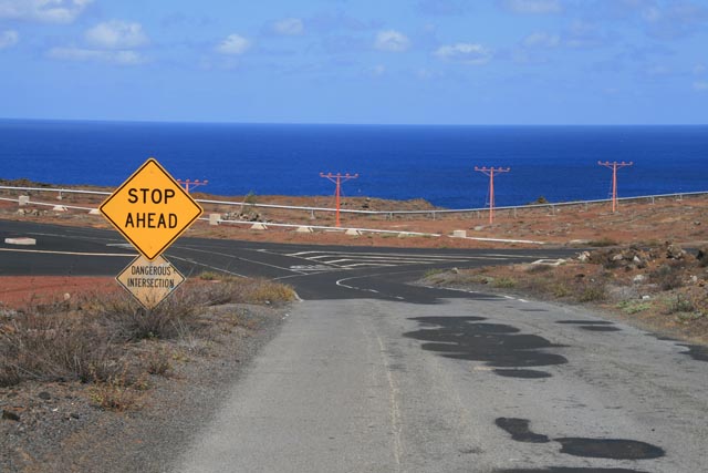
| current | 10:12, 20 March 2013 | | 640 × 427 (63 KB) | Rileyrob (talk | contribs) | To the right, Cat Hill, and to the left the road across the end of the runway on Ascension Island. Note the American style signs |
File usage
The following 2 pages use this file: