File:Ascending Blue Bank (C) JThomas - Geograph - 2711000.jpg
Jump to navigation
Jump to search

No higher resolution available.
Ascending_Blue_Bank_(C)_JThomas_-_Geograph_-_2711000.jpg (640 × 480 pixels, file size: 81 KB, MIME type: image/jpeg)
| |||||||||||||||||||||||||
|
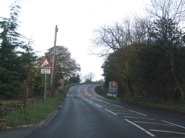
Galleries | A169 | Warning Sign/Steep Hill | Speed limit sign/40 mph | ||
File history
Click on a date/time to view the file as it appeared at that time.
| Date/Time | Thumbnail | Dimensions | User | Comment | |
|---|---|---|---|---|---|
| current | 14:59, 31 August 2014 | | 640 × 480 (81 KB) | Glen (talk | contribs) | Ascending Blue Bank (C) JThomas |
File usage
The following page uses this file:
_JThomas_-_Geograph_-_2711000.jpg&oldid=384826)