File:Ash Mooring - Geograph - 5693025.jpg
Jump to navigation
Jump to search

No higher resolution available.
Ash_Mooring_-_Geograph_-_5693025.jpg (640 × 480 pixels, file size: 102 KB, MIME type: image/jpeg)
| |||||||||||||||||||||||||
|
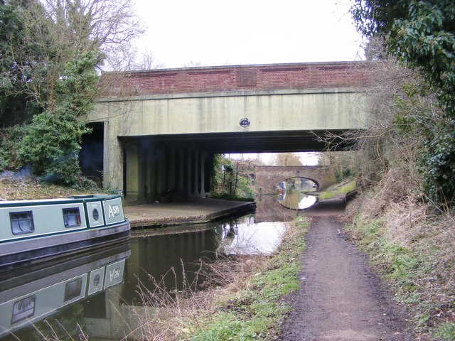
Galleries | A41 | Tettenhall New Bridge | Wolverhampton | ||
File history
Click on a date/time to view the file as it appeared at that time.
| Date/Time | Thumbnail | Dimensions | User | Comment | |
|---|---|---|---|---|---|
| current | 10:36, 29 March 2020 | | 640 × 480 (102 KB) | Steven (talk | contribs) | '''Ash Mooring''' The view of the narrowboat on the Staffordshire and Worcestershire Canal near Tettenhall Road bridge, Wolverhampton. |
File usage
The following 3 pages use this file: