File:Ashford, Kent - Geograph - 1158617.jpg
Jump to navigation
Jump to search

No higher resolution available.
Ashford,_Kent_-_Geograph_-_1158617.jpg (640 × 431 pixels, file size: 63 KB, MIME type: image/jpeg)
| |||||||||||||||||||||||||
|
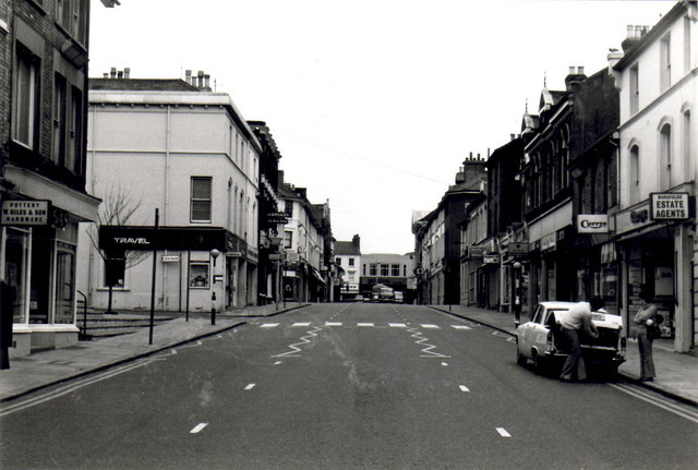
Galleries | B2073 | Zebra Crossing | ||
File history
Click on a date/time to view the file as it appeared at that time.
| Date/Time | Thumbnail | Dimensions | User | Comment | |
|---|---|---|---|---|---|
| current | 23:20, 6 September 2009 | | 640 × 431 (63 KB) | Jeni (talk | contribs) | {{Information |description = Ashford, Kent |day = 01 |month = 05 |year = 1970 |photographer = © Copyright [http://www.geograph.org.uk/profile/3166 Iain Crump] and licensed for reuse under [http://creativecommons.org/licenses/by-s |
File usage
The following page uses this file: