File:Ashford - c1930.jpg
Jump to navigation
Jump to search

No higher resolution available.
Ashford_-_c1930.jpg (432 × 494 pixels, file size: 119 KB, MIME type: image/jpeg)
| |||||||||||||||||||||||||
|
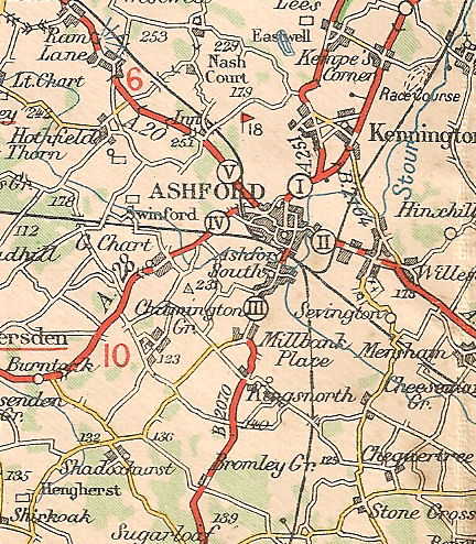
Galleries | B2070 (Ashford - New Romney) | A251 | A20 | Ashford | Michelin Mapping | ||
File history
Click on a date/time to view the file as it appeared at that time.
| Date/Time | Thumbnail | Dimensions | User | Comment | |
|---|---|---|---|---|---|
| current | 22:55, 25 November 2009 | | 432 × 494 (119 KB) | Steven (talk | contribs) | {{Information |description = Ashford, Kent, circa 1930 |day = |month = |year = |photographer = |source = Michelin Tyres Map of Great Britain sheet 114, dated 1928-1932 |road = B2070 |road2 |
File usage
The following 5 pages use this file: