File:Ashington Junction - Geograph - 3391122.jpg
Jump to navigation
Jump to search

No higher resolution available.
Ashington_Junction_-_Geograph_-_3391122.jpg (640 × 480 pixels, file size: 69 KB, MIME type: image/jpeg)
| |||||||||||||||||||||||||
|
Galleries | A24 | C9 (West Sussex) | B2133 | Ashington Interchange | ||
File history
Click on a date/time to view the file as it appeared at that time.
| Date/Time | Thumbnail | Dimensions | User | Comment | |
|---|---|---|---|---|---|
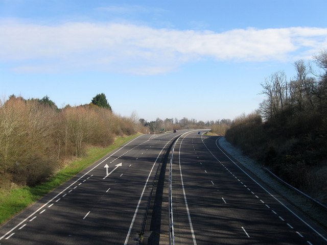
| current | 18:47, 20 March 2019 | | 640 × 480 (69 KB) | Jervi (talk | contribs) | '''Ashington Junction''' The Ashington By-Pass meets the B2133 and the main entrance and exit for the village. The by-pass was opened in 1994 to replace the old single carriageway that ran through the village. |
File usage
The following 3 pages use this file: