File:Ashley Road, Hale - Geograph - 4836040.jpg
Jump to navigation
Jump to search

No higher resolution available.
Ashley_Road,_Hale_-_Geograph_-_4836040.jpg (640 × 425 pixels, file size: 87 KB, MIME type: image/jpeg)
| |||||||||||||||||||||||||
|
Galleries | B5357 | ||
File history
Click on a date/time to view the file as it appeared at that time.
| Date/Time | Thumbnail | Dimensions | User | Comment | |
|---|---|---|---|---|---|
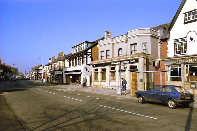
| current | 19:04, 11 July 2016 | | 640 × 425 (87 KB) | Vlad (talk | contribs) | '''Ashley Road, Hale''' Looking towards Hale Station. |
File usage
The following 2 pages use this file: