File:Ashton under Lyne from the air (C) Thomas Nugent - Geograph - 4028783.jpg
Jump to navigation
Jump to search

No higher resolution available.
Ashton_under_Lyne_from_the_air_(C)_Thomas_Nugent_-_Geograph_-_4028783.jpg (640 × 480 pixels, file size: 184 KB, MIME type: image/jpeg)
| |||||||||||||||||||||||||
|
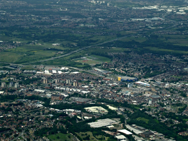
Galleries | Ashton-under-Lyne | ||
File history
Click on a date/time to view the file as it appeared at that time.
| Date/Time | Thumbnail | Dimensions | User | Comment | |
|---|---|---|---|---|---|
| current | 15:41, 17 September 2014 | | 640 × 480 (184 KB) | Jeni (talk | contribs) | '''Ashton under Lyne from the air (C) Thomas Nugent '''<br/>With Ikea sticking out like a sore thumb <a href="http://www.geograph.org.uk/photo/1279125">SJ9399 : Ikea Manchester</a>.<br /> <br /> See also <a href="http://www.geograph.org.uk/photo/4028... |
File usage
The following page uses this file:
_Thomas_Nugent_-_Geograph_-_4028783.jpg&oldid=387469)