File:B1043 turning, A14 - Geograph - 3174814.jpg
Jump to navigation
Jump to search

No higher resolution available.
B1043_turning,_A14_-_Geograph_-_3174814.jpg (640 × 428 pixels, file size: 40 KB, MIME type: image/jpeg)
| |||||||||||||||||||||||||
|
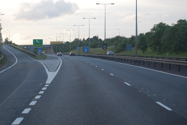
Galleries | A14 | Alconbury East Interchange | Chopsticks | Gore Sign | ||
File history
Click on a date/time to view the file as it appeared at that time.
| Date/Time | Thumbnail | Dimensions | User | Comment | |
|---|---|---|---|---|---|
| current | 14:53, 1 June 2016 | | 640 × 428 (40 KB) | Jeni (talk | contribs) | '''B1043 turning, A14''' |
File usage
The following 3 pages use this file: