File:B104 Road, Lower Ballinderry (C) Kenneth Allen - Geograph - 3537204.jpg
Jump to navigation
Jump to search

No higher resolution available.
B104_Road,_Lower_Ballinderry_(C)_Kenneth_Allen_-_Geograph_-_3537204.jpg (640 × 480 pixels, file size: 55 KB, MIME type: image/jpeg)
| |||||||||||||||||||||||||
|
Galleries | B104 (Northern Ireland) | ||
File history
Click on a date/time to view the file as it appeared at that time.
| Date/Time | Thumbnail | Dimensions | User | Comment | |
|---|---|---|---|---|---|
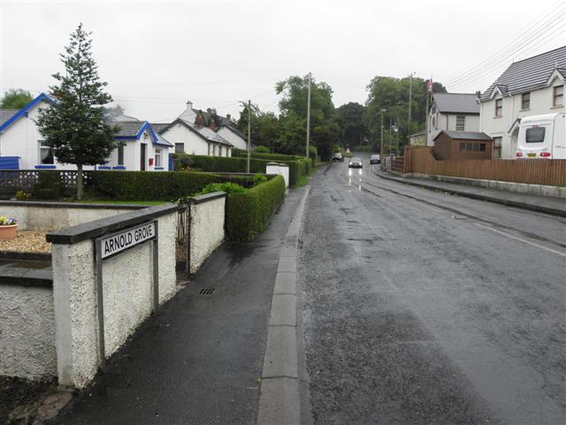
| current | 21:03, 11 November 2013 | | 640 × 480 (55 KB) | Vlad (talk | contribs) | '''B104 Road, Lower Ballinderry (C) Kenneth Allen '''<br/>Heading south-east from the B12 Road |
File usage
The following 2 pages use this file:
_Kenneth_Allen_-_Geograph_-_3537204.jpg&oldid=358681)