File:B1078 bridge over the River Gipping (C) Stuart Logan - Geograph - 3605879.jpg
Jump to navigation
Jump to search

No higher resolution available.
B1078_bridge_over_the_River_Gipping_(C)_Stuart_Logan_-_Geograph_-_3605879.jpg (640 × 468 pixels, file size: 101 KB, MIME type: image/jpeg)
| |||||||||||||||||||||||||
|
Galleries | B1078 | Bosmere Bridge | ||
File history
Click on a date/time to view the file as it appeared at that time.
| Date/Time | Thumbnail | Dimensions | User | Comment | |
|---|---|---|---|---|---|
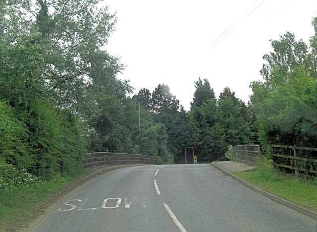
| current | 13:21, 30 October 2014 | | 640 × 468 (101 KB) | Jeni (talk | contribs) | '''B1078 bridge over the River Gipping (C) Stuart Logan '''<br/>The River Gipping is the source river for the River Orwell in Suffolk. It rises near Mendlesham Green and flows in a south-westerly direction to reach Stowmarket; changing direction to so... |
File usage
The following page uses this file:
_Stuart_Logan_-_Geograph_-_3605879.jpg&oldid=389928)