File:B108 Road at Strawgowna (C) Kenneth Allen - Geograph - 1060966.jpg
Jump to navigation
Jump to search

No higher resolution available.
B108_Road_at_Strawgowna_(C)_Kenneth_Allen_-_Geograph_-_1060966.jpg (640 × 479 pixels, file size: 71 KB, MIME type: image/jpeg)
| |||||||||||||||||||||||||
|
Galleries | B108 (Northern Ireland) | ||
File history
Click on a date/time to view the file as it appeared at that time.
| Date/Time | Thumbnail | Dimensions | User | Comment | |
|---|---|---|---|---|---|
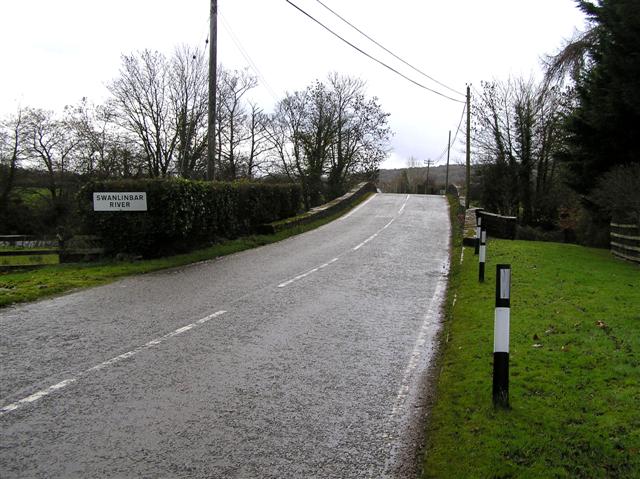
| current | 23:45, 11 November 2013 | | 640 × 479 (71 KB) | Vlad (talk | contribs) | '''B108 Road at Strawgowna (C) Kenneth Allen '''<br/>The locals call this the Hump Bridge which is over the Strawgowna River |
File usage
The following 2 pages use this file:
_Kenneth_Allen_-_Geograph_-_1060966.jpg&oldid=358924)