File:B1132 Old High Road, Roydon (C) Adrian Cable - Geograph - 3648733.jpg
Jump to navigation
Jump to search

No higher resolution available.
B1132_Old_High_Road,_Roydon_(C)_Adrian_Cable_-_Geograph_-_3648733.jpg (640 × 480 pixels, file size: 42 KB, MIME type: image/jpeg)
| |||||||||||||||||||||||||
File history
Click on a date/time to view the file as it appeared at that time.
| Date/Time | Thumbnail | Dimensions | User | Comment | |
|---|---|---|---|---|---|
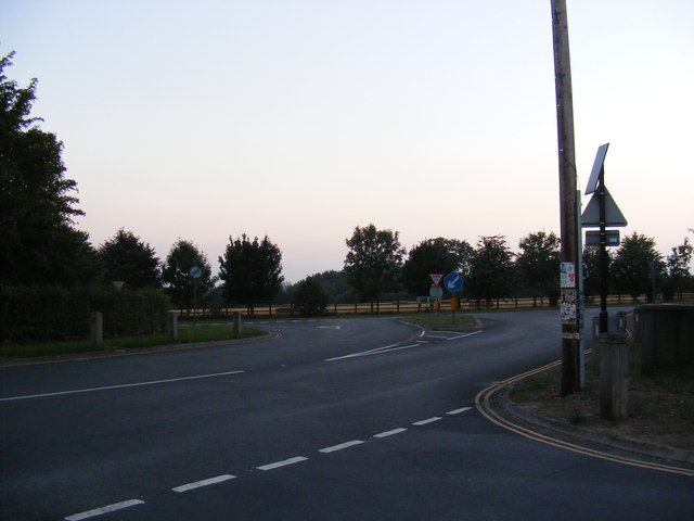
| current | 20:48, 7 November 2013 | | 640 × 480 (42 KB) | Vlad (talk | contribs) | '''B1132 Old High Road, Roydon (C) Adrian Cable '''<br/>At the junction with the A1066 High Road taken from Manor Road |
File usage
The following 4 pages use this file:
_Adrian_Cable_-_Geograph_-_3648733.jpg&oldid=358143)