File:B2060 map.png
Jump to navigation
Jump to search

Size of this preview: 324 × 600 pixels. Other resolution: 378 × 700 pixels.
Original file (378 × 700 pixels, file size: 955 KB, MIME type: image/png)
| |||||||||||||||||||||||||
|
Galleries | B2060 | OS One Inch | ||
File history
Click on a date/time to view the file as it appeared at that time.
| Date/Time | Thumbnail | Dimensions | User | Comment | |
|---|---|---|---|---|---|
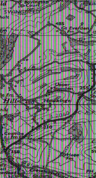
| current | 21:37, 4 February 2010 | | 378 × 700 (955 KB) | Ritchie333 (talk | contribs) | {{Information |description = B2060 north of Folkestone |day = |month = |year = 1959 |photographer = Ordnance Survey |source = Ordnance Survey Seventh Series Sheet 173 |road = B2060 |road2 = |road3 = |
File usage
The following page uses this file: