File:B2156.png

From Roader's Digest: The SABRE Wiki
Jump to navigation Jump to search

B2156.png(394 × 512 pixels, file size: 623 KB, MIME type: image/png)

Y topleft.gifY topright.gif
Description:B2156 in East Sussex This page contains scans from a map that is believed may be out of copyright according to UK Crown Copyright, UK Copyright Law for other maps published in the United Kingdom, or Irish Government Copyright, is not being used to generate profit in this context, and presents information that cannot be exhibited otherwise.
If the copyright holder considers this is an infringement of their rights, please contact the site management team to discuss further steps.
Location:50.9596972, 0.5258417
Road:B2156 (Sussex)
Date:
Photographer:Ordnance Survey
Source:Ordnance Survey New Popular Edition Sheet 184

Map

Y btmleft.gifY btmright.gif

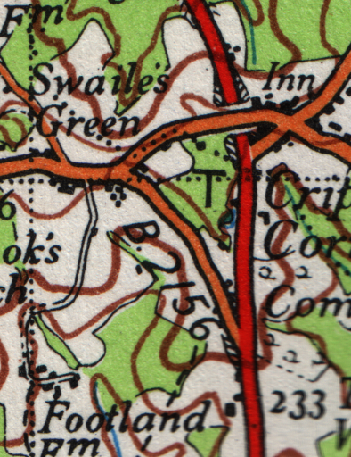
Galleries  | B2156 (Sussex) | OS One Inch


File history

Click on a date/time to view the file as it appeared at that time.

Date/TimeThumbnailDimensionsUserComment
current14:34, 25 April 2010Thumbnail for version as of 14:34, 25 April 2010394 × 512 (623 KB)Ritchie333 (talk | contribs)B2156 in East Sussex

The following page uses this file:

SABRE - The Society for All British and Irish Road Enthusiasts
Discuss - Digest - Discover - Help