File:B2161 map.png
Jump to navigation
Jump to search

No higher resolution available.
B2161_map.png (229 × 351 pixels, file size: 162 KB, MIME type: image/png)
| |||||||||||||||||||||||||
|
Galleries | B2161 | OS One Inch | ||
File history
Click on a date/time to view the file as it appeared at that time.
| Date/Time | Thumbnail | Dimensions | User | Comment | |
|---|---|---|---|---|---|
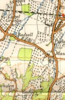
| current | 22:24, 4 February 2010 | | 229 × 351 (162 KB) | Ritchie333 (talk | contribs) | {{Information |description = B2161 west of Paddock Wood, Kent |day = |month = |year = 1940 |photographer = Ordnance Survey |source = Ordnance Survey New Popular Edition Sheet 171 |road = B2161 |road2 = |roa |
File usage
The following 2 pages use this file: