File:B2244 (Former A229) near Kent-Sussex border - Coppermine - 18335.jpg
Jump to navigation
Jump to search

Size of this preview: 800 × 575 pixels. Other resolution: 1,033 × 743 pixels.
Original file (1,033 × 743 pixels, file size: 83 KB, MIME type: image/jpeg)
| |||||||||||||||||||||||||
|
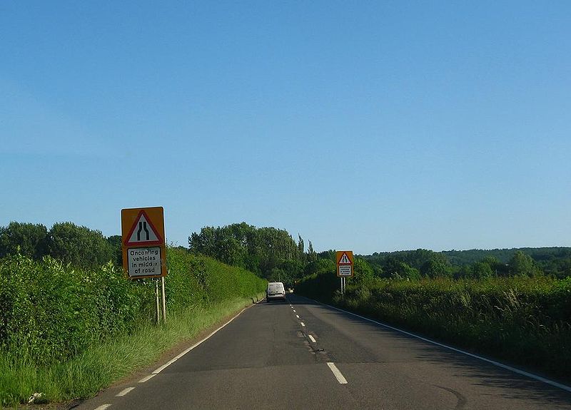
Galleries | B2244 | A229 | Warning Sign/Road Narrows | ||
File history
Click on a date/time to view the file as it appeared at that time.
| Date/Time | Thumbnail | Dimensions | User | Comment | |
|---|---|---|---|---|---|
| current | 23:10, 27 January 2010 | | 1,033 × 743 (83 KB) | Multiraider2 (talk | contribs) | {{Information |description = '''B2244 (Former A229) near Kent-Sussex border''' Former A229 approaches one four pinch points between Hawkhurst and Sedlescombe which lead its to re-routing and the downgrade of this section to become the B2244. This is appr |
File usage
The following page uses this file:
_near_Kent-Sussex_border_-_Coppermine_-_18335.jpg&oldid=313768)