File:B268 map.png
Jump to navigation
Jump to search

No higher resolution available.
B268_map.png (341 × 254 pixels, file size: 217 KB, MIME type: image/png)
| ||||||||||||||
|
Galleries | B268 | Michelin Mapping | ||
File history
Click on a date/time to view the file as it appeared at that time.
| Date/Time | Thumbnail | Dimensions | User | Comment | |
|---|---|---|---|---|---|
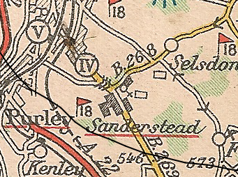
| current | 21:58, 4 May 2010 | | 341 × 254 (217 KB) | Steven (talk | contribs) | {{Information |description = B268, south of Croydon |day = |month = |year = |photographer = |source = Michelin Tyres Map of Great Britain sheet 114, dated 1928-1932 |licence = none |road = A326 (Farnham |
File usage
The following page uses this file: