File:B280, near Epsom Common (C) Alan Hunt - Geograph - 2126283.jpg
Jump to navigation
Jump to search

No higher resolution available.
B280,_near_Epsom_Common_(C)_Alan_Hunt_-_Geograph_-_2126283.jpg (640 × 480 pixels, file size: 280 KB, MIME type: image/jpeg)
| |||||||||||||||||||||||||
|
Galleries | B280 | ||
File history
Click on a date/time to view the file as it appeared at that time.
| Date/Time | Thumbnail | Dimensions | User | Comment | |
|---|---|---|---|---|---|
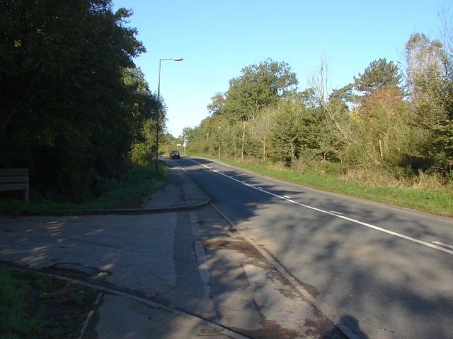
| current | 17:19, 5 November 2013 | | 640 × 480 (280 KB) | Vlad (talk | contribs) | '''B280, near Epsom Common (C) Alan Hunt '''<br/>The B280, Christ Church Road, with the entrance to the common car park on the left. |
File usage
The following 2 pages use this file:
_Alan_Hunt_-_Geograph_-_2126283.jpg&oldid=357984)