File:B3117 map.png

From Roader's Digest: The SABRE Wiki
Jump to navigation Jump to search

B3117_map.png(357 × 363 pixels, file size: 345 KB, MIME type: image/png)

Y topleft.gifY topright.gif
Description:B3117 in Somerset This page contains scans from a map that is believed may be out of copyright according to UK Crown Copyright, UK Copyright Law for other maps published in the United Kingdom, or Irish Government Copyright, is not being used to generate profit in this context, and presents information that cannot be exhibited otherwise.
If the copyright holder considers this is an infringement of their rights, please contact the site management team to discuss further steps.
Location:51.3738164, -2.6449585
Road:B3117
Date:
Photographer:Ordnance Survey
Source:MOT Road Map Sheet 32

Map

Y btmleft.gifY btmright.gif

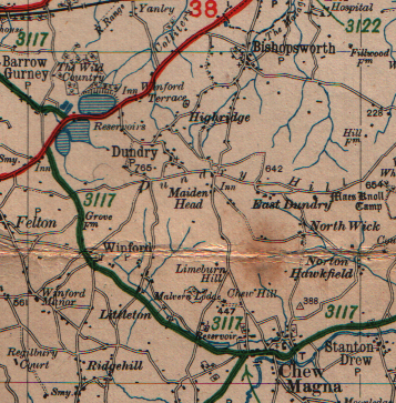
Galleries  | B3117 | OS Ministry of Transport Road Map


File history

Click on a date/time to view the file as it appeared at that time.

Date/TimeThumbnailDimensionsUserComment
current22:50, 1 May 2010Thumbnail for version as of 22:50, 1 May 2010357 × 363 (345 KB)Ritchie333 (talk | contribs)B3117 in Somerset

The following page uses this file:

SABRE - The Society for All British and Irish Road Enthusiasts
Discuss - Digest - Discover - Help