File:B3353 Pickwick Road, Corsham looking west - Geograph - 1760631.jpg
Jump to navigation
Jump to search

No higher resolution available.
B3353_Pickwick_Road,_Corsham_looking_west_-_Geograph_-_1760631.jpg (640 × 506 pixels, file size: 84 KB, MIME type: image/jpeg)
| |||||||||||||||||||||||||
|
Galleries | B3353 | ||
File history
Click on a date/time to view the file as it appeared at that time.
| Date/Time | Thumbnail | Dimensions | User | Comment | |
|---|---|---|---|---|---|
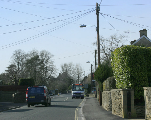
| current | 12:12, 21 March 2010 | | 640 × 506 (84 KB) | Jeni (talk | contribs) | '''B3353 Pickwick Road, Corsham looking west'''<br/>Toward the junction with the A4.<br /> A local bus heads into the village centre.<br /> |
File usage
The following page uses this file: