File:B374 in Weybridge (C) Derek Harper - Geograph - 3496288.jpg
Jump to navigation
Jump to search

No higher resolution available.
B374_in_Weybridge_(C)_Derek_Harper_-_Geograph_-_3496288.jpg (640 × 511 pixels, file size: 101 KB, MIME type: image/jpeg)
| |||||||||||||||||||||||||
File history
Click on a date/time to view the file as it appeared at that time.
| Date/Time | Thumbnail | Dimensions | User | Comment | |
|---|---|---|---|---|---|
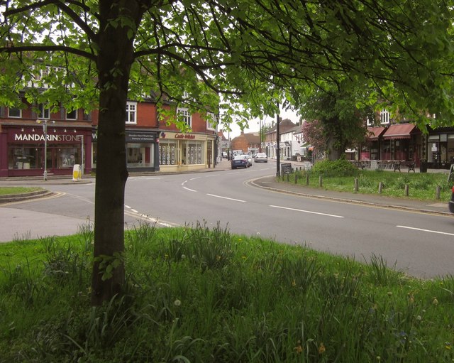
| current | 21:32, 5 November 2013 | | 640 × 511 (101 KB) | Vlad (talk | contribs) | '''B374 in Weybridge (C) Derek Harper '''<br/>Heath Road becomes Church Street as the B road passes the junction with Bridge Road (left). |
File usage
The following 4 pages use this file:
_Derek_Harper_-_Geograph_-_3496288.jpg&oldid=358004)