No higher resolution available.
File history
Click on a date/time to view the file as it appeared at that time.
| Date/Time | Thumbnail | Dimensions | User | Comment |
|---|
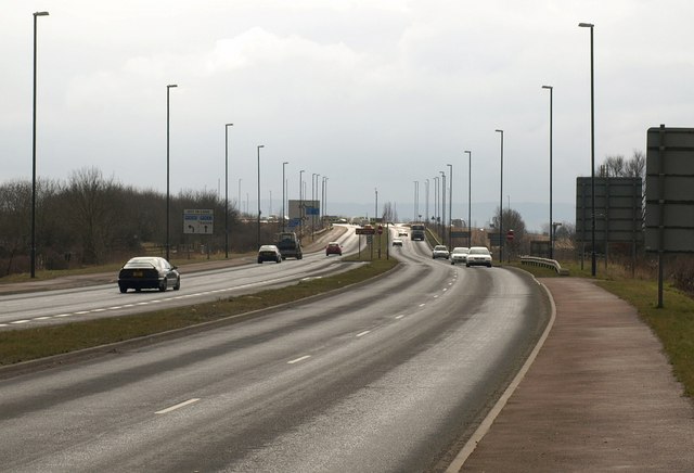
| current | 21:40, 11 June 2011 |  | 640 × 436 (47 KB) | Viator (talk | contribs) | A four-lane stretch of the B4008 between the A38 and the M5 near Hardwicke |
File usage
The following page uses this file:
This file contains additional information, probably added from the digital camera or scanner used to create or digitise it.
If the file has been modified from its original state, some details may not fully reflect the modified file.
