File:B4100 Southam - Dunchurch map.png

From Roader's Digest: The SABRE Wiki
Jump to navigation Jump to search

Original file(427 × 700 pixels, file size: 905 KB, MIME type: image/png)

Y topleft.gifY topright.gif
Description:Original B4100 in Warwickshire This page contains scans from a map that is believed may be out of copyright according to UK Crown Copyright, UK Copyright Law for other maps published in the United Kingdom, or Irish Government Copyright, is not being used to generate profit in this context, and presents information that cannot be exhibited otherwise.
If the copyright holder considers this is an infringement of their rights, please contact the site management team to discuss further steps.
Location:This picture currently has no coords, edit this page to add them.
Road:B4100 (Southam - Dunchurch)
Date:
Photographer:Ordnance Survey
Source:Ordnance Survey Seventh Series Sheet 132
Y btmleft.gifY btmright.gif

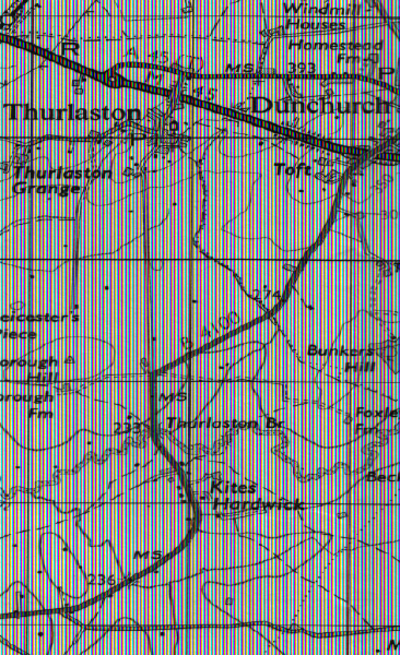
Galleries  | B4100 (Southam - Dunchurch) | OS One Inch


File history

Click on a date/time to view the file as it appeared at that time.

Date/TimeThumbnailDimensionsUserComment
current12:31, 29 April 2010Thumbnail for version as of 12:31, 29 April 2010427 × 700 (905 KB)Ritchie333 (talk | contribs)Original B4100 in Warwickshire

The following 2 pages use this file:

SABRE - The Society for All British and Irish Road Enthusiasts
Discuss - Digest - Discover - Help