File:B4211, Rhydd - Geograph - 1566768.jpg
Jump to navigation
Jump to search

No higher resolution available.
B4211,_Rhydd_-_Geograph_-_1566768.jpg (640 × 433 pixels, file size: 79 KB, MIME type: image/jpeg)
| |||||||||||||||||||||||||
|
Galleries | B4211 | Regulatory Sign | S2 | ||
File history
Click on a date/time to view the file as it appeared at that time.
| Date/Time | Thumbnail | Dimensions | User | Comment | |
|---|---|---|---|---|---|
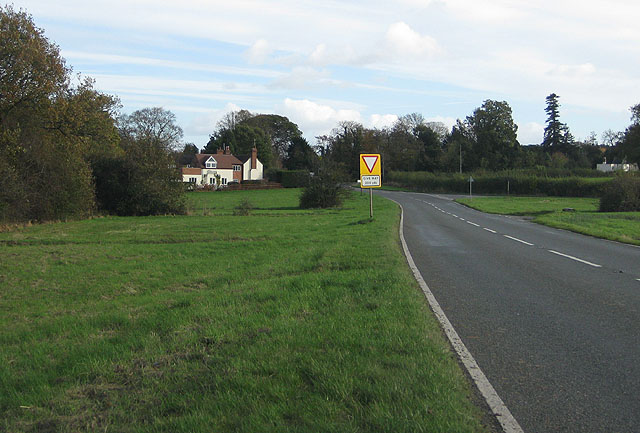
| current | 15:17, 17 March 2010 | | 640 × 433 (79 KB) | Bob@romiley1 (talk | contribs) | '''B4211, Rhydd'''<br/>To the right is the turning to Rhydd Green and Hanley Swan via Blackmore End. The main junction beyond is the B4211 meeting the B4424. The River Severn flows beyond the trees.<br /> For information on the Rhydd Ferry, see <span cla |
File usage
The following 2 pages use this file: