File:B4465 looking east near Codrington - Geograph - 1516708.jpg
Jump to navigation
Jump to search

No higher resolution available.
B4465_looking_east_near_Codrington_-_Geograph_-_1516708.jpg (640 × 510 pixels, file size: 143 KB, MIME type: image/jpeg)
| |||||||||||||||||||||||||
|
Galleries | B4465 | ||
File history
Click on a date/time to view the file as it appeared at that time.
| Date/Time | Thumbnail | Dimensions | User | Comment | |
|---|---|---|---|---|---|
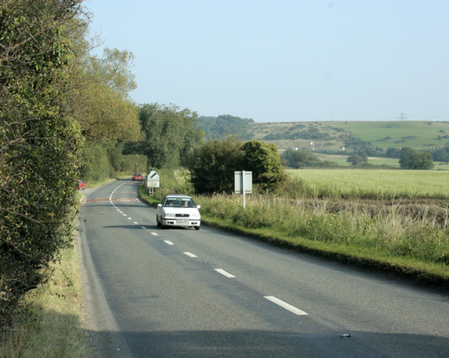
| current | 15:03, 8 March 2010 | | 640 × 510 (143 KB) | Jeni (talk | contribs) | '''B4465 looking east near Codrington'''<br/>Heading toward the A46 and Tormarton at the top of the Cotswold escarpment.<br /> Signs and traffic on the M4 can be seen in the distance to the right. |
File usage
The following 2 pages use this file: