File:B4730.png
B4730.png (500 × 500 pixels, file size: 678 KB, MIME type: image/png)
| |||||||||||||||||||||||||
|
Galleries | B4730 | Birmingham | AA Mapping | ||
File history
Click on a date/time to view the file as it appeared at that time.
| Date/Time | Thumbnail | Dimensions | User | Comment | |
|---|---|---|---|---|---|
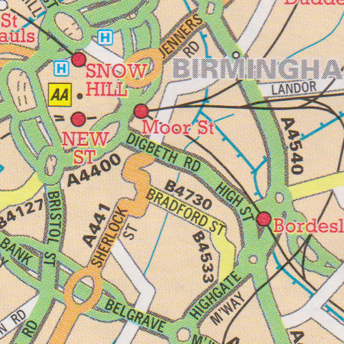
| current | 20:06, 6 December 2013 | | 500 × 500 (678 KB) | Steven (talk | contribs) | B4730 mapping error in Birmingham. From AA Road Atlas of Great Britain, 1998 edition. |
File usage
The following 2 pages use this file: