File:B4 (Hospital Road), Omagh - Geograph - 1011045.jpg
Jump to navigation
Jump to search

No higher resolution available.
B4_(Hospital_Road),_Omagh_-_Geograph_-_1011045.jpg (640 × 480 pixels, file size: 90 KB, MIME type: image/jpeg)
| |||||||||||||||||||||||||
|
Galleries | B4 (Northern Ireland) | Omagh | ||
File history
Click on a date/time to view the file as it appeared at that time.
| Date/Time | Thumbnail | Dimensions | User | Comment | |
|---|---|---|---|---|---|
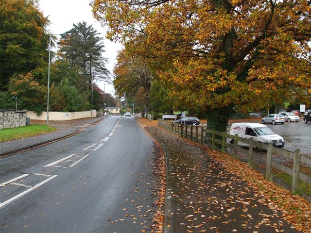
| current | 14:13, 16 June 2010 | | 640 × 480 (90 KB) | Si404 (talk | contribs) | '''B4 (Hospital Road), Omagh'''<br/>Looking towards the town on an Autumn afternoon, with everything thrown in, including rain and wind. |
File usage
The following 3 pages use this file:
,_Omagh_-_Geograph_-_1011045.jpg&oldid=185836)