File:B5053 at Wigginstall - Geograph - 453704.jpg
Jump to navigation
Jump to search

Size of this preview: 450 × 600 pixels. Other resolution: 480 × 640 pixels.
Original file (480 × 640 pixels, file size: 100 KB, MIME type: image/jpeg)
| |||||||||||||||||||||||||
File history
Click on a date/time to view the file as it appeared at that time.
| Date/Time | Thumbnail | Dimensions | User | Comment | |
|---|---|---|---|---|---|
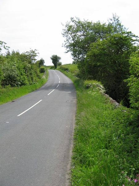
| current | 17:14, 21 March 2010 | | 480 × 640 (100 KB) | Bob@romiley1 (talk | contribs) | '''B5053 at Wigginstall'''<br/>The B5053 road above Wigginstall Farms, at the point where it crosses the upper Wigginstall stream. |
File usage
The following page uses this file: