File:B5102 Road Junction near New Farm - Geograph - 281338.jpg
Jump to navigation
Jump to search

No higher resolution available.
B5102_Road_Junction_near_New_Farm_-_Geograph_-_281338.jpg (640 × 480 pixels, file size: 165 KB, MIME type: image/jpeg)
| |||||||||||||||||||||||||
|
Galleries | B5102 | Maelor Tour | Flag Sign | S2 | ||
File history
Click on a date/time to view the file as it appeared at that time.
| Date/Time | Thumbnail | Dimensions | User | Comment | |
|---|---|---|---|---|---|
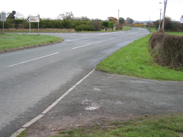
| current | 14:39, 23 March 2010 | | 640 × 480 (165 KB) | Bob@romiley1 (talk | contribs) | '''B5102 Road Junction near New Farm'''<br/>From this junction the B5102 goes left to Rossett and straight on to Holt. The road past the camera becomes a minor road at this point heading for Borras. |
File usage
The following 2 pages use this file: