File:B5391, Higher Wincham, Cheshire - Geograph - 147676.jpg
Jump to navigation
Jump to search

No higher resolution available.
B5391,_Higher_Wincham,_Cheshire_-_Geograph_-_147676.jpg (640 × 480 pixels, file size: 149 KB, MIME type: image/jpeg)
| |||||||||||||||||||||||||
File history
Click on a date/time to view the file as it appeared at that time.
| Date/Time | Thumbnail | Dimensions | User | Comment | |
|---|---|---|---|---|---|
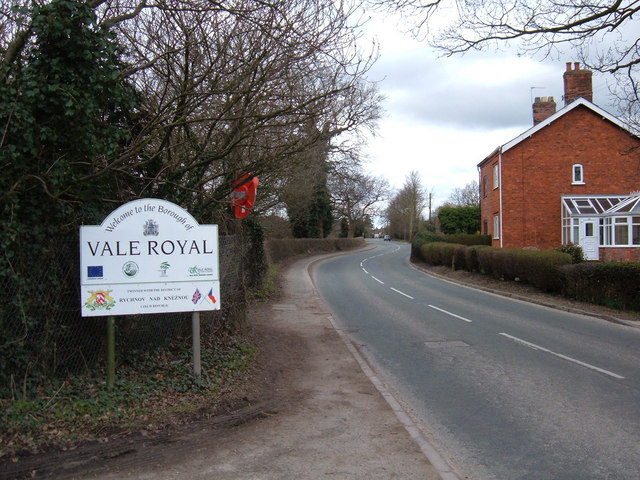
| current | 18:14, 26 March 2010 | | 640 × 480 (149 KB) | Bob@romiley1 (talk | contribs) | '''B5391, Higher Wincham, Cheshire'''<br/>The stream that runs under the road forms the boundary between Vale Royal and Macclesfield districts. |
File usage
The following 3 pages use this file: