File:B6021 by Sutton Parkway station - Geograph - 3529493.jpg
Jump to navigation
Jump to search

No higher resolution available.
B6021_by_Sutton_Parkway_station_-_Geograph_-_3529493.jpg (640 × 480 pixels, file size: 54 KB, MIME type: image/jpeg)
| |||||||||||||||||||||||||
|
Galleries | B6021 | ||
File history
Click on a date/time to view the file as it appeared at that time.
| Date/Time | Thumbnail | Dimensions | User | Comment | |
|---|---|---|---|---|---|
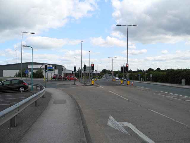
| current | 07:25, 4 September 2013 | | 640 × 480 (54 KB) | Viator (talk | contribs) | Looking north at the junction of Lowmore Road, Penny Emma Way, and Kirkby Folly Road |
File usage
The following 2 pages use this file: