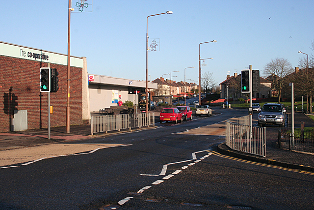
File:B7010 Longridge Road Fauldhouse Geograph.jpg

From Roader's Digest: The SABRE Wiki
Jump to navigation Jump to search

B7010_Longridge_Road_Fauldhouse_Geograph.jpg(640 × 427 pixels, file size: 356 KB, MIME type: image/jpeg)

Y topleft.gifY topright.gif
Description:Longridge Road Longridge Road is the continuation of Main Road past the unbeautiful brick-and-concrete block housing the Co-Op and Post Office. All the houses on Longridge Road are council-built, part of the huge expansion of the village in the 20th century.
Location:55.8272026, -3.7087870
Road:B7010
Date:2012
Photographer:Anne Burgess
Source:Anne Burgess

Map

Y btmleft.gifY btmright.gif

Galleries  | B7010 | S2 | B7010

File history

Click on a date/time to view the file as it appeared at that time.

Date/TimeThumbnailDimensionsUserComment
current15:53, 13 March 2012Thumbnail for version as of 15:53, 13 March 2012640 × 427 (356 KB)Michael769 (talk | contribs)Longridge Road Longridge Road is the continuation of Main Road past the unbeautiful brick-and-concrete block housing the Co-Op and Post Office. All the houses on Longridge Road are council-built, part of the huge expansion of the village in the 20th cent

The following page uses this file:

Metadata

SABRE - The Society for All British and Irish Road Enthusiasts
Discuss - Digest - Discover - Help