File:B7054 Broomhill war memorial - Geograph - 5921469.jpg
Jump to navigation
Jump to search

No higher resolution available.
B7054_Broomhill_war_memorial_-_Geograph_-_5921469.jpg (640 × 431 pixels, file size: 84 KB, MIME type: image/jpeg)
| |||||||||||||||||||||||||
|
Galleries | B7054 | ||
File history
Click on a date/time to view the file as it appeared at that time.
| Date/Time | Thumbnail | Dimensions | User | Comment | |
|---|---|---|---|---|---|
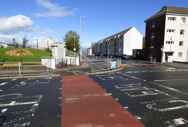
| current | 00:22, 20 February 2021 | | 640 × 431 (84 KB) | Tam nugent (talk | contribs) | A crossing point at the WWI memorial on the corner of Cornhaddock Street and Broomhill Street. Unveiled by Provost Thomas Mitchell on 10th April 1920. |
File usage
There are no pages that use this file.