No higher resolution available.
File history
Click on a date/time to view the file as it appeared at that time.
| Date/Time | Thumbnail | Dimensions | User | Comment |
|---|
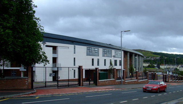
| current | 00:15, 20 February 2021 |  | 640 × 366 (93 KB) | Tam nugent (talk | contribs) | A new Roman Catholic high school on the site of the former school of the same name. |
File usage
The following page uses this file:
This file contains additional information, probably added from the digital camera or scanner used to create or digitise it.
If the file has been modified from its original state, some details may not fully reflect the modified file.
