File:B7078 (ex A74) - Coppermine - 18658.JPG
Jump to navigation
Jump to search

Size of this preview: 800 × 600 pixels. Other resolution: 1,136 × 852 pixels.
Original file (1,136 × 852 pixels, file size: 114 KB, MIME type: image/jpeg)
| |||||||||||||||||||||||||
File history
Click on a date/time to view the file as it appeared at that time.
| Date/Time | Thumbnail | Dimensions | User | Comment | |
|---|---|---|---|---|---|
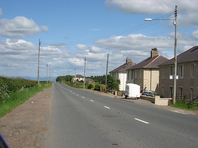
| current | 16:58, 26 March 2010 | | 1,136 × 852 (114 KB) | Rileyrob (talk | contribs) | '''B7078 (ex A74)''' A couple of miles south of Canderside Toll, there's a few houses of the style of council houses built all across Glasgow in the 1930s & 1940s. These and the old type of lamppost add to the period atmosphere of this old route. <smal |
File usage
There are no pages that use this file.
_-_Coppermine_-_18658.JPG&oldid=488012)