File:B735 (C) Andy Farrington - Geograph - 2144752.jpg
Jump to navigation
Jump to search

No higher resolution available.
B735_(C)_Andy_Farrington_-_Geograph_-_2144752.jpg (640 × 480 pixels, file size: 81 KB, MIME type: image/jpeg)
| |||||||||||||||||||||||||
|
Galleries | B735 | ||
File history
Click on a date/time to view the file as it appeared at that time.
| Date/Time | Thumbnail | Dimensions | User | Comment | |
|---|---|---|---|---|---|
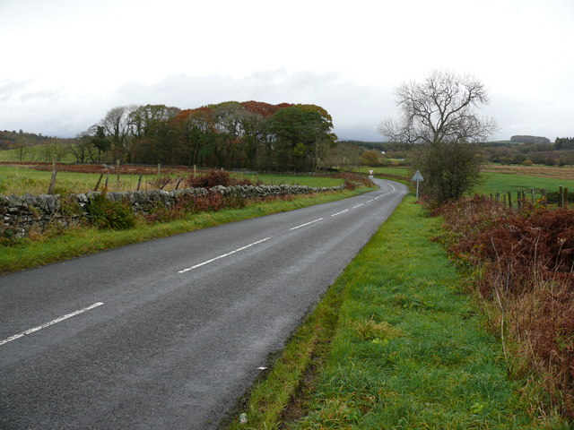
| current | 20:05, 6 November 2013 | | 640 × 480 (81 KB) | Vlad (talk | contribs) | '''B735 (C) Andy Farrington '''<br/>At this point the B735 runs down from the railbridge to the junction with the A75. |
File usage
The following 2 pages use this file:
_Andy_Farrington_-_Geograph_-_2144752.jpg&oldid=358065)