File:B786 The B786 road - Geograph - 6453364.jpg
Jump to navigation
Jump to search

No higher resolution available.
B786_The_B786_road_-_Geograph_-_6453364.jpg (640 × 427 pixels, file size: 133 KB, MIME type: image/jpeg)
| |||||||||||||||||||||||||
|
Galleries | C11 (Inverclyde) | B786 | ||
File history
Click on a date/time to view the file as it appeared at that time.
| Date/Time | Thumbnail | Dimensions | User | Comment | |
|---|---|---|---|---|---|
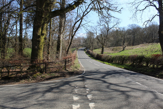
| current | 10:24, 18 February 2021 | | 640 × 427 (133 KB) | Tam nugent (talk | contribs) | Looking towards Lochwinnoch on the B786 at the junction with Torr Road (C11). |
File usage
The following 2 pages use this file: