File:B8039 Jane's Brae - Geograph - 2240679.jpg
Jump to navigation
Jump to search

No higher resolution available.
B8039_Jane's_Brae_-_Geograph_-_2240679.jpg (640 × 480 pixels, file size: 92 KB, MIME type: image/jpeg)
| |||||||||||||||||||||||||
|
Galleries | B8039 | Cumbernauld | ||
File history
Click on a date/time to view the file as it appeared at that time.
| Date/Time | Thumbnail | Dimensions | User | Comment | |
|---|---|---|---|---|---|
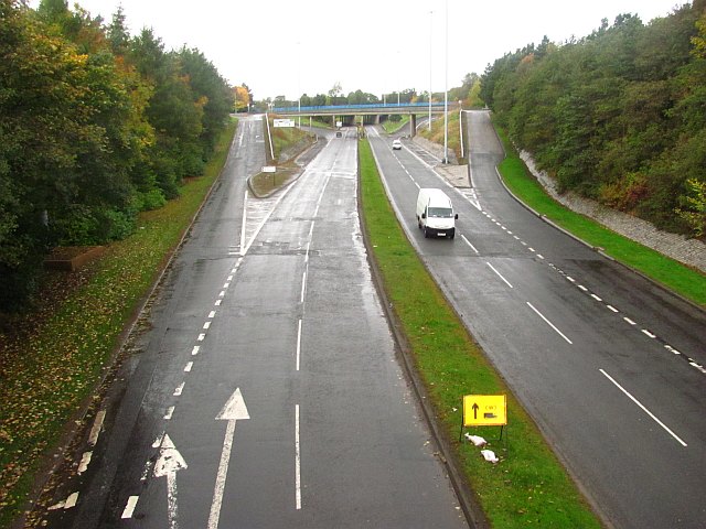
| current | 20:40, 10 November 2013 | | 640 × 480 (92 KB) | Vlad (talk | contribs) | '''B8054 - Jane's Brae (C) Richard Webb '''<br/>Looking up to the split level interchange at North Carbrain Road (home of petrolheads?) from a footbridge between Glenacre Road and Abbotsford Road, Cumbernauld. |
File usage
The following 3 pages use this file:
_Richard_Webb_-_Geograph_-_2240679.jpg&redirect=no)