File:B833 heading into Ardpeaton - Geograph - 1387499.jpg
Jump to navigation
Jump to search

Size of this preview: 450 × 600 pixels. Other resolution: 480 × 640 pixels.
Original file (480 × 640 pixels, file size: 132 KB, MIME type: image/jpeg)
| |||||||||||||||||||||||||
|
Galleries | B833 | Clyde Sea Lochs Trail | S2 | ||
File history
Click on a date/time to view the file as it appeared at that time.
| Date/Time | Thumbnail | Dimensions | User | Comment | |
|---|---|---|---|---|---|
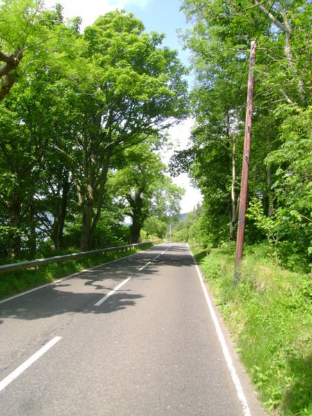
| current | 20:56, 8 January 2010 | | 480 × 640 (132 KB) | Bob@romiley1 (talk | contribs) | {{Information |description = B833 heading into Ardpeaton |day = 25 |month = 06 |year = 2009 |photographer = © Copyright [http://www.geograph.org.uk/profile/7610 Mark Nightingale] and licensed for reuse under [http://creativecommo |
File usage
The following page uses this file: