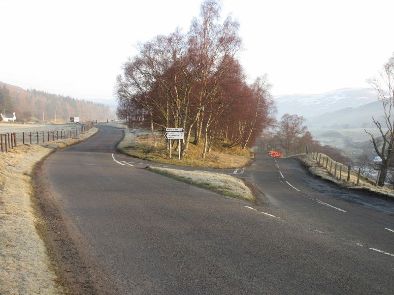
The B955 fork at Gella, with the left-hand road heading up the west side of Glen Clova, and the road to the right heading up the east side of the glen. Both roads will meet up at the hamlet of Clova six miles away.
The B955 fork at Gella, with the left-hand road heading up the west side of Glen Clova, and the road to the right heading up the east side of the glen. Both roads will meet up at the hamlet of Clova six miles away.
