File:B - Coppermine - 7721.JPG
Jump to navigation
Jump to search

Size of this preview: 800 × 600 pixels. Other resolution: 2,048 × 1,536 pixels.
Original file (2,048 × 1,536 pixels, file size: 604 KB, MIME type: image/jpeg)
| |||||||||||||||||||||||||
|
Galleries | N7 | E20 | Rathcoole Interchange | ||
File history
Click on a date/time to view the file as it appeared at that time.
| Date/Time | Thumbnail | Dimensions | User | Comment | |
|---|---|---|---|---|---|
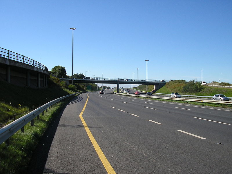
| current | 12:40, 10 June 2010 | | 2,048 × 1,536 (604 KB) | Bob@romiley1 (talk | contribs) | '''N7 J4 s/b''' The LILO accesses are not numbered on the widened scheme, only full access junctions receive a number which makes some sense to me. This is just north of Rathcoole Village, which is to the left of the bypassing road. The overbridge here w |
File usage
The following 2 pages use this file: